|
Courses like landscape ecology, remote sensing and GIS have the potential to attract a wide range of students because they are both visual and applied. Forestry and natural resource courses have a similar potential, particularly when they include field trips and active learning that place students in a natural environment. I find creative ways to make lectures, labs and field trips accessible to my students.
Course Experience: TA: Observing the earth from space TA: Forest ecosystem measurement field course Guest Lecturer: Landscape ecology Silviculture Outreach: Webinars: - Forecasting potential climate refugia to guide conservation of montane species. - Characterizing the sensitivity of tree species and forest types to past weather variability using tree ring data |
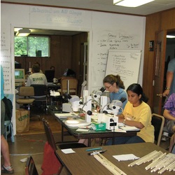
Connecting field data...
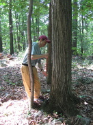
Data like tree-rings, being collected here, can teach students about forest response to stress and climate.
|
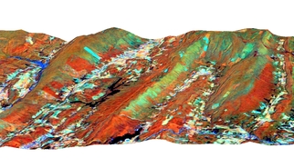
to landscape pattern
Patterns in remote sensing imagery, like the defoliation (greenish tones) in this Landsat image, can help us quantify and understand how stresses spread across landscapes.
|